
Earthworks (engineering)
Engineering works processing soil or unformed rock for construction.

Unknown author · Public domain
Earthworks (engineering) are engineering works created through the processing of parts of the earth's surface involving quantities of soil or unformed rock. They include temporary or permanent geotechnical shoring structures and are used in civil engineering for road construction, railway beds, causeways, dams, levees, canals, and berms, as well as in military engineering for fortifications such as moats, sod walls, motte-and-bailey castles, hill forts, trenches, and berms.
- field
- Engineering
- known_for
- Earthworks construction and mass haul planning
- typical_materials
- Soil and unformed rock
- common_uses
- Road construction, railway beds, dams, levees, fortifications
- equipment
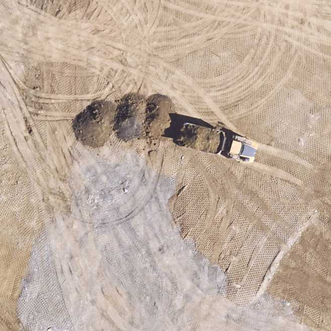
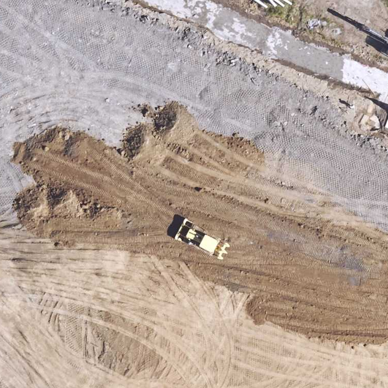
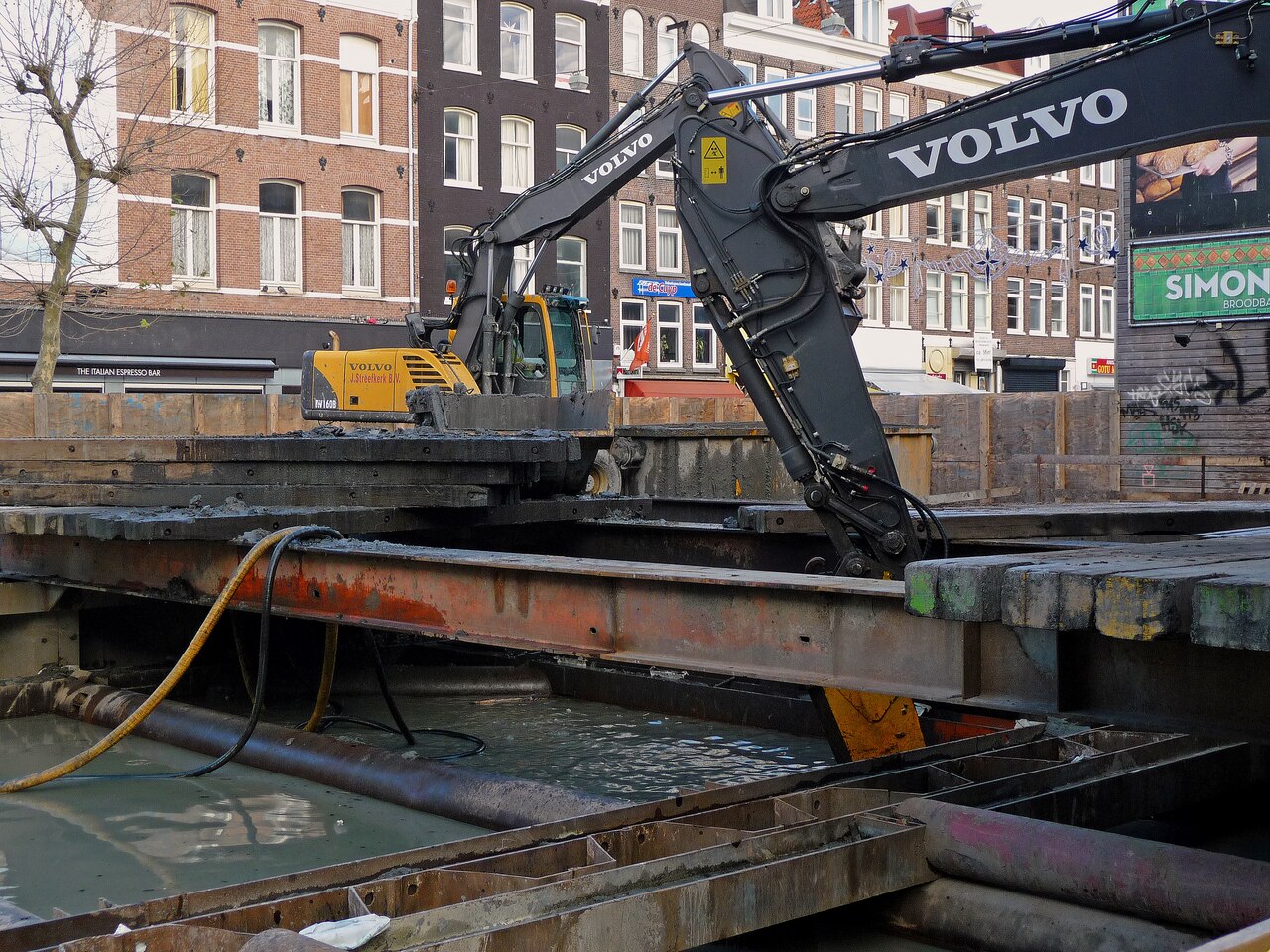
- Fresno scraper, loader, dump truck, grader, bulldozer, backhoe, dragline excavator
Lore & Background
Earthworks are created through the processing of parts of the earth's surface involving quantities of soil or unformed rock. They may include temporary or permanent geotechnical shoring structures. Excavation is classified by type of material—topsoil, earth, rock, muck (containing excess water and unsuitable soil), or unclassified—and by purpose. Typical civil engineering earthworks include road construction, railway beds, causeways, dams, levees, canals, and berms, as well as land grading to reconfigure topography or stabilize slopes. In military engineering, earthworks are types of fortifications constructed from soil; although soil is not very strong, it is cheap enough that huge quantities can be used, generating formidable structures. Examples include moats, sod walls, motte-and-bailey castles, hill forts, trenches, and berms.
Reader's Guide
Earthworks are fundamental to both civil and military engineering, enabling large-scale terrain modification for infrastructure and defense. Their significance lies in the ability to move millions of cubic meters of material using heavy construction equipment such as the Fresno scraper, loader, dump truck, grader, bulldozer, backhoe, and dragline excavator. Engineers must address geotechnical issues like soil density and strength and perform quantity estimation to balance cut and fill volumes while minimizing haul distance. Historically, calculations were done by hand using a slide rule and methods like Simpson's rule; now they are performed with computer software that optimizes haul cost rather than just distance. Earthwork software, often an add-on to CAD packages, calculates cut and fill volumes, produces material and time estimates, and can generate shaded maps, cross sections, and 3D terrain visualizations. Different software products may yield different results due to varying calculation methods, such as triangulated irregular networks (TINs) or triangular prism volume algorithms. The legacy of earthworks is evident in modern infrastructure and military fortifications, with preservation efforts like those documented by the American Battlefield Trust.
Did You Know?
- Earthworks may include temporary or permanent geotechnical shoring structures.
- Muck excavation usually contains excess water and unsuitable soil.
- In military engineering, earthworks are types of fortifications constructed from soil, including moats, sod walls, and hill forts.
- Earthwork construction was revolutionized by the development of the Fresno scraper and other earth-moving machines.
Engineering & Construction Methods
The builders of Troyville employed sophisticated structural techniques that reveal a deep understanding of composite material design. Within the Great Mound, Smithsonian archaeologist Winslow Walker uncovered woven cane matting, palmetto fronds, and wooden planks that had been integral to the construction process. The most remarkable discovery was a reinforcing structure he termed a "cane dome" — built by alternating layers of split cane with mound fill in an onion-like pattern, effectively creating a composite material that strengthened the massive earthen form against collapse. The builders also deliberately selected different colored soils, incorporating both blue clays and red clays into the structure, suggesting aesthetic or symbolic intent alongside practical engineering. Additional structural elements included a log palisade encircling portions of the mound and a staircase constructed from tree trunks ascending one corner, indicating that the mound was not merely a static pile of earth but a functional, multi-level structure with defined access points and perimeter boundaries.
Scale & Architectural Design
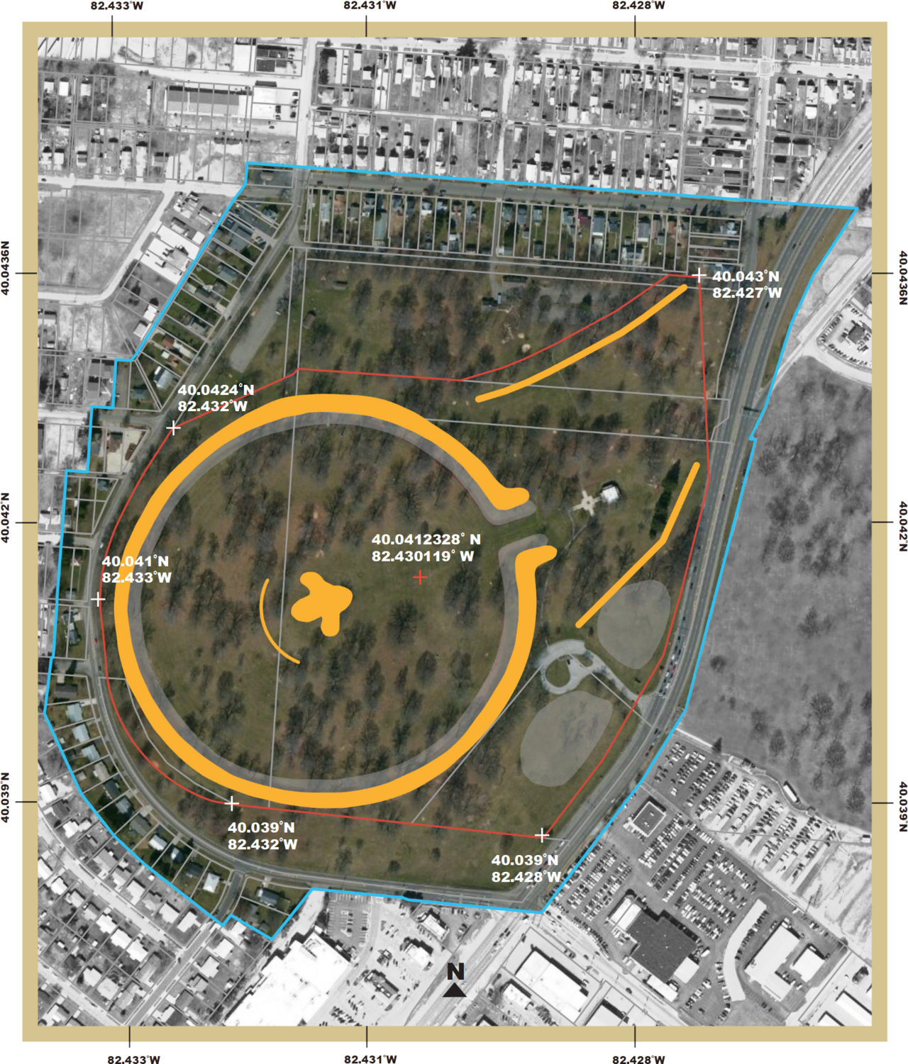
At its peak, the Troyville complex represented one of the most ambitious earthen engineering projects in pre-Columbian North America. Situated at the confluence of the Tensas, Ouachita, and Little Rivers in what is now Jonesville, Catahoula Parish, Louisiana, the site encompassed roughly 400 acres according to historian John W. Monette's 1844 survey. The complex featured nine platform mounds enclosed by a perimeter embankment, all constructed before 700 CE during the Baytown through Troyville-Coles Creek periods. The centerpiece, Mound 5 or the "Great Mound," rose 82 feet and stood as the tallest pre-Columbian mound in Louisiana and the second tallest in all of North America. Its base spanned a full acre, organized into three distinct levels: two lower rectangular tiers and a truncated conical summit. Monette recorded the lower tier at 300 by 150 feet, rising 30 feet, topped by a 30-foot conical cap. The surrounding embankment measured 10 feet high, 10 feet wide, and stretched 100 feet across, enclosing four of the smaller mounds on the southern and western sides of the central plaza.
Gradual Destruction & Loss
The story of Troyville's Great Mound is one of steady, incremental erasure spanning nearly a century. By the time of the American Civil War, the mound had already been reduced from its original 82 feet to approximately 50 feet, and during the conflict, Confederate soldiers removed additional fill to dig rifle pits on the site. In 1871, the town of Jonesville was established directly on the mound complex, and residents borrowed earth from the structure to fill ditches and level ground as the settlement expanded. Locals even used the mounds as dry camping ground during seasonal flooding. By 1883, when ethnologist Cyrus Thomas visited, the Great Mound had shrunk to 45 feet, and several of the smaller mounds had been largely destroyed, one converted into a cemetery that persists today on the grounds of the local Methodist Church. The final blow came in 1931, when the majority of the mound's remaining mass was excavated and repurposed as fill for a nearby bridge approach. The structure that once ranked second in height across North America was reduced to a mere 3 feet of residual earth.
Discovery, Excavation & Preservation
The first European written record of the Troyville mounds came from William Dunbar, who documented the site in his 1804 report to Thomas Jefferson following the Red River expedition — a document that stands as the earliest known written description of an archaeological site in Louisiana. The site itself took its name from the Troy Plantation, part of a 1,000-acre Spanish land grant awarded to John Hebrard in 1786. Nearly 130 years later, Smithsonian archaeologist Winslow Walker conducted excavations in 1931 and 1932, uncovering the internal engineering materials and publishing a 103-page booklet documenting his findings. In the late 2000s, The Archaeological Conservancy, a nonprofit dedicated to protecting threatened sites, moved to purchase portions of the property. The organization acquired the land containing Mound 4, demolished the old house on the property, and established plans to landscape, fence, and maintain the area as a research preserve, offering a small but meaningful counterweight to the centuries of destruction that had already consumed most of the complex.
Gallery
More in Miscellaneous 25-32
Elsewhere in the Miscellaneous universe
Spotted an error? Know more?
This is a living reference — every entry is fact-audited, and reader corrections feed straight into our audit queue. Suggest an edit · See this site's audit record